What Are the US Regions?
Taught in US schools
Key Takeaways
- The five main US regions are the Northeast, Southeast, Midwest, Southwest, and West - each with distinct geography, climate, and culture.
- The Northeast is the most densely populated region; the Midwest is known as the nation's breadbasket; the West has the most dramatic geography.
- State capitals and major landmarks differ by region - students learn these as anchors for regional geography.
What Are the US Regions?
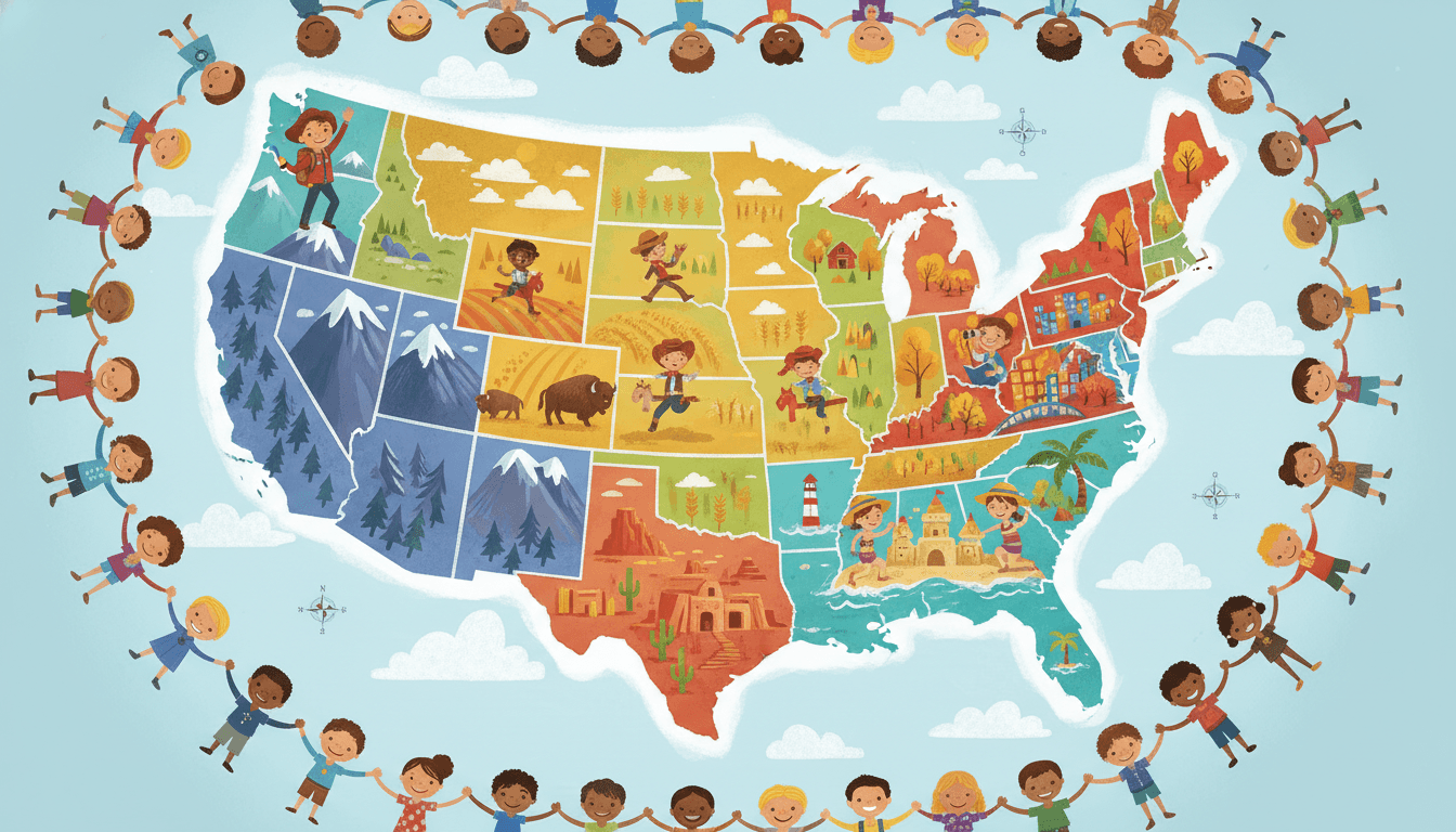
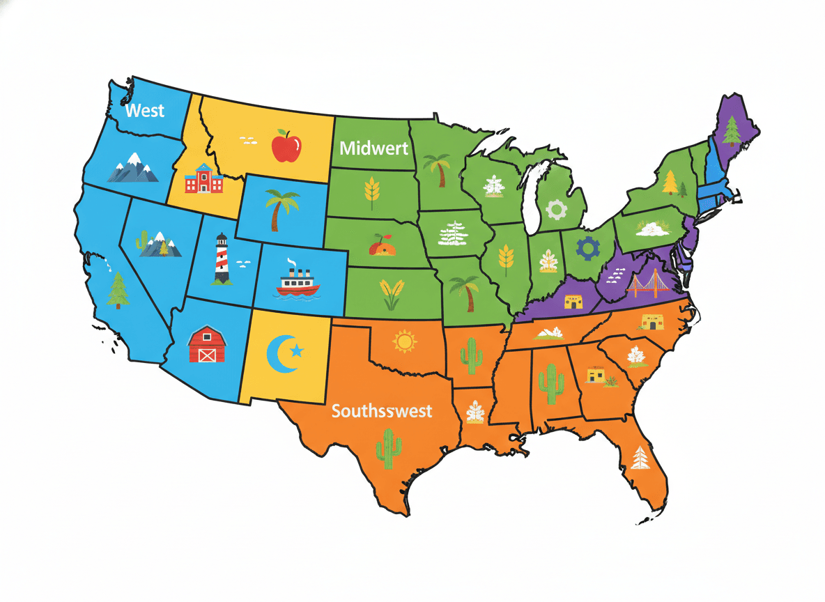
The United States is a vast country with 50 states and enormous variety in geography, climate, and culture. To make it easier to study, geographers divide the country into five main regions: Northeast, Southeast, Midwest, Southwest, and West.
Regions share similar physical characteristics, climate patterns, histories, and economies - though the lines between them are not perfectly sharp, and different sources may group states slightly differently.
The Five Regions
1. Northeast
States: Maine, New Hampshire, Vermont, Massachusetts, Rhode Island, Connecticut, New York, New Jersey, Pennsylvania, Delaware, Maryland
-
Physical features: Appalachian Mountains, Atlantic coastline, Hudson River, Chesapeake Bay
-
Climate: Cold, snowy winters; warm summers; all four seasons
-
Industries: Finance, technology, education, healthcare, fishing, tourism
-
Famous landmarks: Statue of Liberty, Liberty Bell, Harvard University, Niagara Falls
-
Largest cities: New York City, Philadelphia, Boston
2. Southeast
States: Virginia, West Virginia, North Carolina, South Carolina, Georgia, Florida, Alabama, Mississippi, Tennessee, Kentucky, Arkansas, Louisiana
-
Physical features: Appalachian Mountains, Gulf Coast, Mississippi River, Everglades
-
Climate: Hot, humid summers; mild winters; frequent hurricanes along the coast
-
Industries: Agriculture (cotton, tobacco, peanuts), tourism, military, energy
-
Famous landmarks: Great Smoky Mountains, Everglades, New Orleans French Quarter
-
Largest cities: Miami, Atlanta, Nashville, Charlotte
3. Midwest
States: Ohio, Michigan, Indiana, Wisconsin, Illinois, Minnesota, Iowa, Missouri, North Dakota, South Dakota, Nebraska, Kansas
-
Physical features: Great Plains, Great Lakes, Mississippi and Missouri Rivers
-
Climate: Cold winters, hot summers; prone to tornadoes; very little rainfall
-
Industries: Agriculture (corn, wheat, soybeans), manufacturing, automotive
-
Famous landmarks: Mount Rushmore, Gateway Arch, Badlands
-
Largest cities: Chicago, Detroit, Minneapolis, Kansas City
4. Southwest
States: Texas, Oklahoma, New Mexico, Arizona, Nevada (sometimes Utah and Colorado)
-
Physical features: Sonoran Desert, Grand Canyon, Rio Grande, Colorado River
-
Climate: Hot and dry; some areas have monsoon season
-
Industries: Oil and gas, ranching, tourism, technology
-
Famous landmarks: Grand Canyon, Alamo, Santa Fe historic district
-
Largest cities: Houston, Phoenix, Las Vegas, San Antonio
5. West
States: California, Oregon, Washington, Idaho, Montana, Wyoming, Colorado, Utah, Alaska, Hawaii
-
Physical features: Rocky Mountains, Sierra Nevada, Pacific Coast, volcanoes (Cascade Range), Pacific Islands
-
Climate: Varies widely - coastal fog in San Francisco, desert in Nevada, tropical in Hawaii, Arctic in Alaska
-
Industries: Technology, entertainment, agriculture (California's Central Valley), fishing, timber
-
Famous landmarks: Golden Gate Bridge, Yosemite, Mount Rushmore (technically Midwest), Grand Teton
-
Largest cities: Los Angeles, Seattle, Denver, San Francisco
Comparing the Regions
Northeast: History, finance, education - Appalachian Mountains + Atlantic coast
Southeast: Warm climate, agriculture, music - Gulf Coast + Mississippi River
Midwest: Farming, Great Lakes - Great Plains + Great Lakes
Southwest: Desert, canyon lands, Hispanic heritage - Grand Canyon + Rio Grande
West: Tech, movies, mountains, diversity - Rocky Mountains + Pacific Ocean
Practice Activities
-
Region map coloring: Students color each region a different color on a blank US map and label key states.
-
Region research project: Each student or group researches one region - climate, industries, landmarks, and famous people from that area.
-
State capitals quiz: Learn the capital cities of each region's states.
-
Compare and contrast: Use a Venn diagram to compare the climate and economy of two different regions.
-
Virtual field trip: Use Google Earth or classroom maps to "visit" a landmark in each region.
Frequently Asked Questions
What are the five US regions?
The five main regions are the Northeast (New England and Mid-Atlantic states), Southeast (including the Deep South and Florida), Midwest (also called the Heartland or Great Plains), Southwest (including Texas, Arizona, New Mexico, and Nevada), and West (including California, Oregon, Washington, Colorado, and Alaska and Hawaii).
Why is the Midwest called the breadbasket of America?
The Midwest is called the breadbasket because its flat, fertile plains and rich soil make it ideal for growing enormous amounts of crops - especially wheat, corn, and soybeans. States like Iowa, Kansas, Nebraska, and Illinois produce food that feeds not only the US but much of the world.
Which region has the most states?
The Southeast has a large number of states (typically 12, including Florida, Georgia, Alabama, Mississippi, Louisiana, Arkansas, Tennessee, Kentucky, South Carolina, North Carolina, Virginia, and West Virginia). The exact number depends on which regional model is used - different textbooks group states slightly differently.
Free US Regions Worksheets
Curriculum-aligned printable worksheets for 3rd – 5th Grade. Download free.


