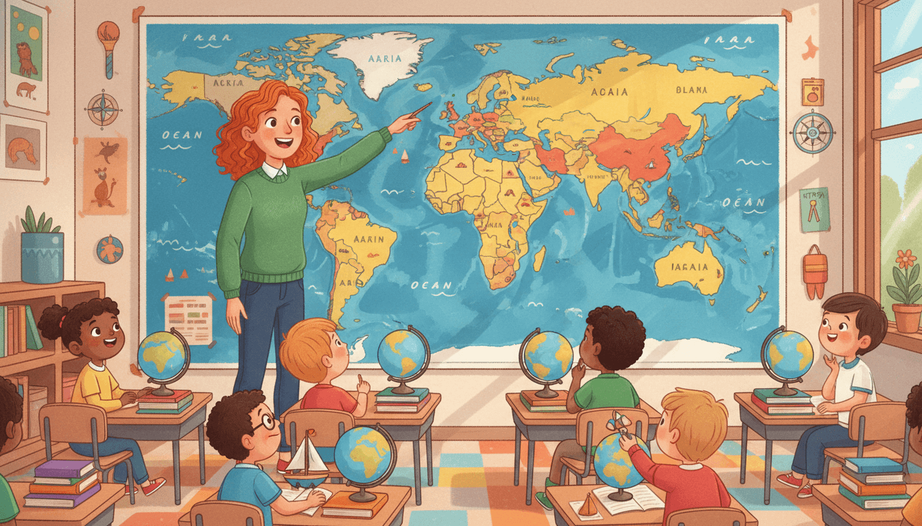
What Are Basic Geography Terms?
Taught in US schools
Key Takeaways
- Landforms are natural features of Earth's surface, including mountains, valleys, plains, plateaus, peninsulas, islands, and canyons.
- Water features include oceans, seas, lakes, rivers, bays, gulfs, deltas, and straits - each with a distinct shape and location relative to land.
- A peninsula is surrounded by water on three sides but connected to land on one side; an island is completely surrounded by water.
What Are Basic Geography Terms?
Geography is the study of Earth's surface - its landforms, water features, climates, and how people live in different places. To study geography, students need to know the vocabulary that describes the physical world around them.
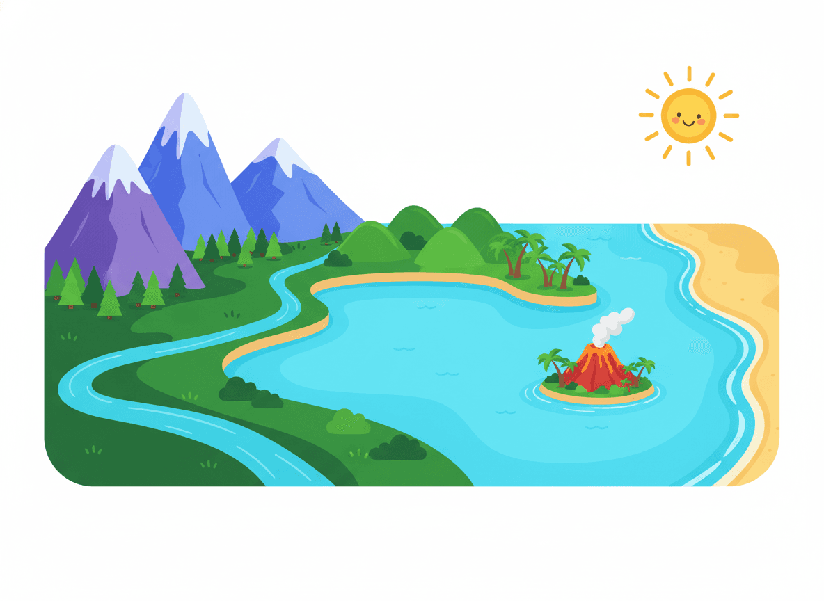
Landforms
A landform is a natural feature of Earth's land surface shaped by forces like plate tectonics, erosion, and volcanic activity.
Mountain: A large landform that rises high above the surrounding land - Rocky Mountains, Himalayas
Hill: A raised area of land, smaller and rounder than a mountain - Rolling hills of Pennsylvania
Valley: A low area of land between mountains or hills, often with a river - Yosemite Valley, Nile Valley
Plateau: A flat-topped, elevated area of land - Colorado Plateau, Great Plains plateau
Plain: A large area of flat or gently rolling land - Great Plains (central US)
Canyon: A deep, narrow valley with steep sides, often carved by a river - Grand Canyon
Peninsula: Land surrounded by water on three sides, connected to land on one - Florida, Italy, Korean Peninsula
Island: Land completely surrounded by water - Hawaii, Iceland, Manhattan
Isthmus: A narrow strip of land connecting two larger landmasses - Isthmus of Panama
Cape: A pointed piece of land that juts into a body of water - Cape Cod, Cape of Good Hope
Water Features
Ocean: The largest bodies of salt water on Earth (five oceans) - Pacific, Atlantic, Indian, Arctic, Southern
Sea: A large body of salt water, smaller than an ocean, often near land - Mediterranean Sea, Caribbean Sea
Lake: A body of water surrounded by land - Great Lakes, Lake Titicaca
River: A large, flowing body of fresh water moving toward an ocean or lake - Mississippi River, Amazon River
Stream: A small, flowing body of water, smaller than a river - Creek, brook
Bay: A body of water partly enclosed by land, with a wide mouth - Hudson Bay, San Francisco Bay
Gulf: A large bay, usually larger and more deeply enclosed than a bay - Gulf of Mexico
Delta: Fan-shaped land at a river's mouth where it meets a larger body of water - Mississippi Delta, Nile Delta
Strait: A narrow passage of water connecting two larger bodies of water - Strait of Magellan, Strait of Gibraltar
Peninsula vs. Island
This comparison is one that students commonly mix up:
Water sides: Three sides
Land connection: Yes - connected to mainland
Examples: Florida, Baja California, Italy
Memory trick: "PEN-insula" - think of a pen reaching into water while your hand (the mainland) holds it.
Reading a Physical Map
A physical map uses color and shading to show landforms and water features:
-
Green and tan = low-elevation plains
-
Brown and white = mountains and high elevation
-
Blue = water features (rivers, lakes, oceans)
-
Dark blue = deeper water
Understanding geography terms makes physical maps meaningful - students move from "that blue line" to "that's the Mississippi River, which flows south to the Gulf of Mexico."
Grade-by-Grade Progression
K–1: Land vs. water, globe vs. map, basic terms: ocean, river, mountain, lake
2–3: Landforms: valley, plain, peninsula, island; reading simple physical maps
4–5: All terms including isthmus, strait, delta, gulf, canyon; applying to US regions and world geography
Practice Activities
- Label a blank physical map of the United States with mountains, plains, rivers, and coastlines.
- Build a salt dough model of a landform (mountain, peninsula, island, valley) and present it to the class.
- Play "What Am I?" - teacher reads a definition and students call out the geography term.
- Match geography vocabulary cards to photos of real landforms and water features from around the world.
- Use Google Earth or a classroom atlas to find and name five landforms and five water features visible from above.
Frequently Asked Questions
What is the difference between a peninsula and an island?
A peninsula is a piece of land that extends into water and is surrounded by water on three sides, but remains connected to the mainland on one side. Florida is a famous peninsula. An island is a piece of land that is completely surrounded by water on all sides - it has no land connection. Hawaii is a chain of islands.
What is the difference between a river and a lake?
A river is a large, flowing body of fresh water that moves in one direction, from higher elevation toward lower elevation, eventually emptying into an ocean, sea, or lake. A lake is a body of water that is surrounded by land on all sides and does not flow in a particular direction.
What is a delta?
A delta is a landform that builds up at the mouth of a river where it meets a larger body of water. As the river slows down, it deposits sediment (sand and silt) that accumulates into a fan-shaped or triangle-shaped area of land. The Nile Delta and the Mississippi River Delta are well-known examples.
Free Geography Terms Worksheets
Curriculum-aligned printable worksheets for Kindergarten – 5th Grade. Download free.


