Rain Shadows and Water in the American West
Written by Adi Ackerman, Head Teacher
"Rain Shadows and Water in the American West" is written for 7th Grade (Ages 12-13). A 6th grader who is already steady on U.S. Regions and Landforms can use it too, and an older student can use it as a short review.
2 pages in this set
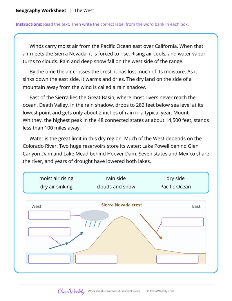
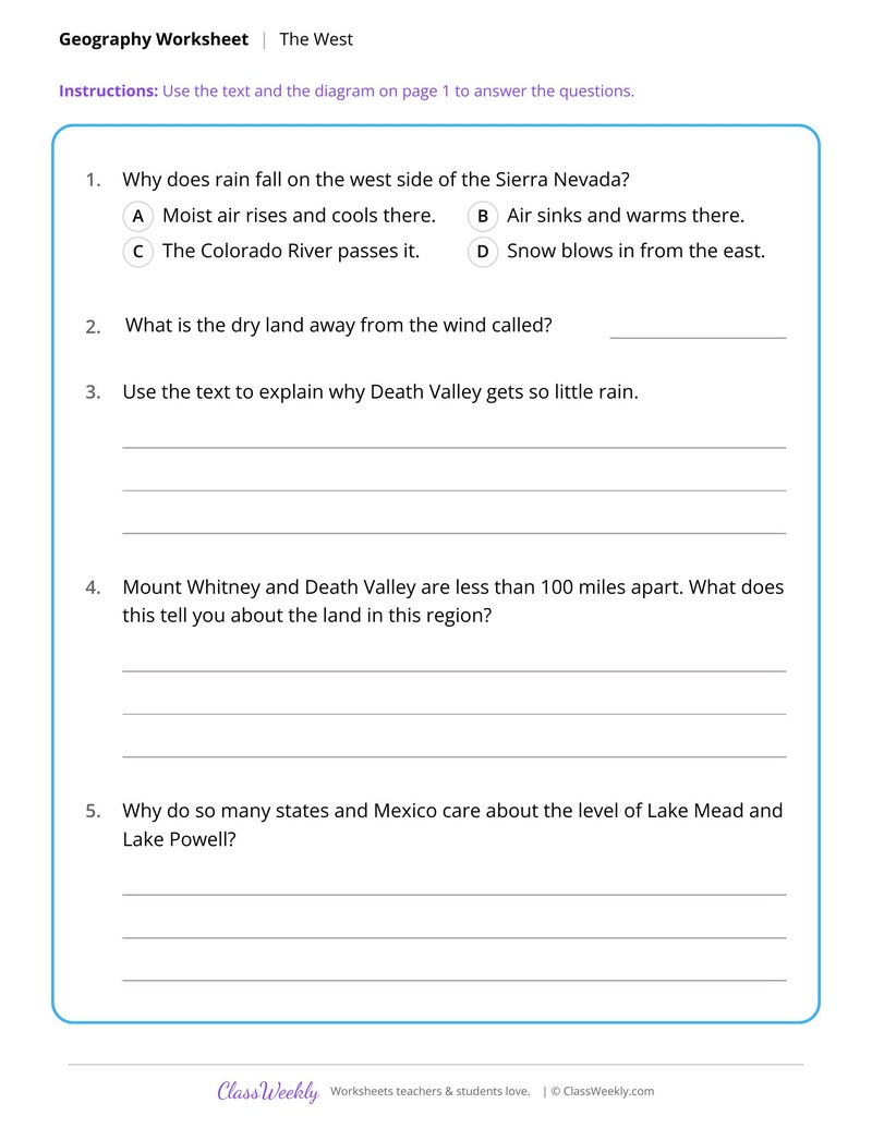
7th grade social studies worksheet: show how the Sierra Nevada creates a rain shadow and why Death Valley stays dry. Answer key included. Part of our regions and landforms collection.
How do I use this worksheet?
Begin with the physical map so students know the names. Then pair each text sheet with a wall map or atlas.
What students will practice
- Students will explain how rising air cools and drops rain on the windward side of a range.
- Students will define rain shadow and label a diagram of it.
- Students will use the Great Basin and Death Valley to explain how landforms shape climate.
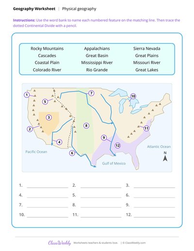
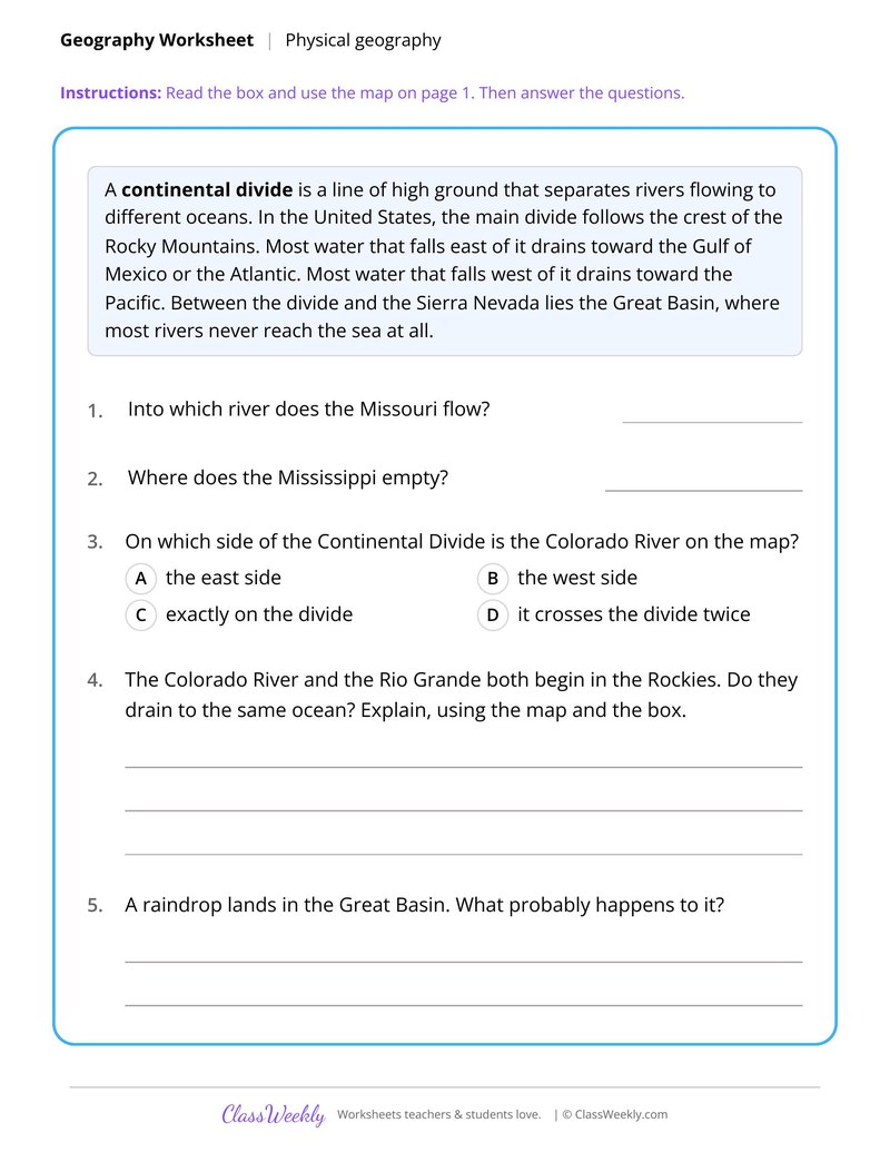
Physical Map of the United States
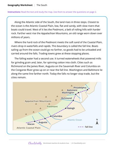
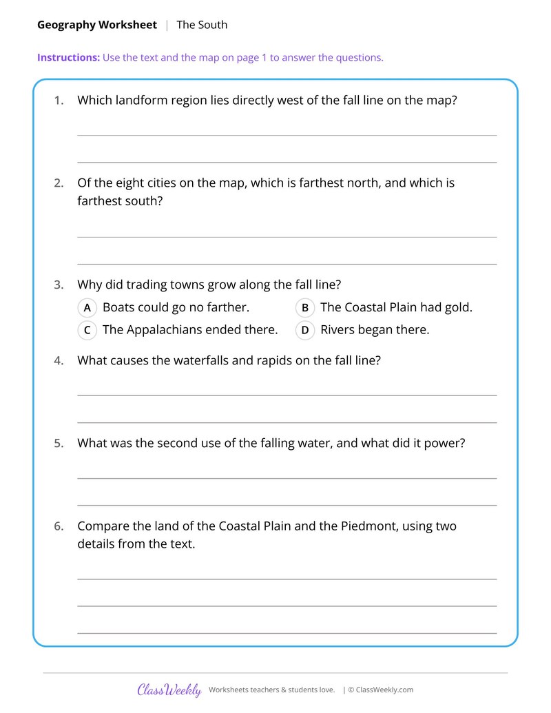
Appalachians, Piedmont and the Fall Line Cities
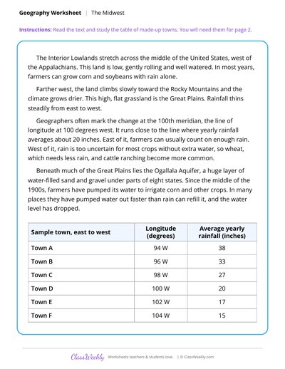
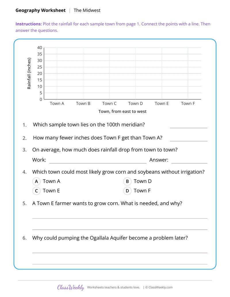
Interior Plains and the 100th Meridian
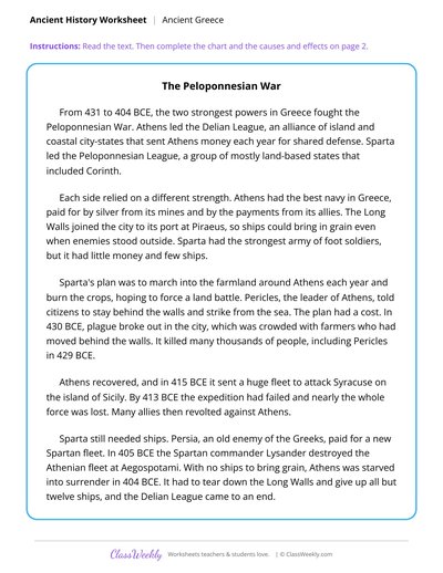
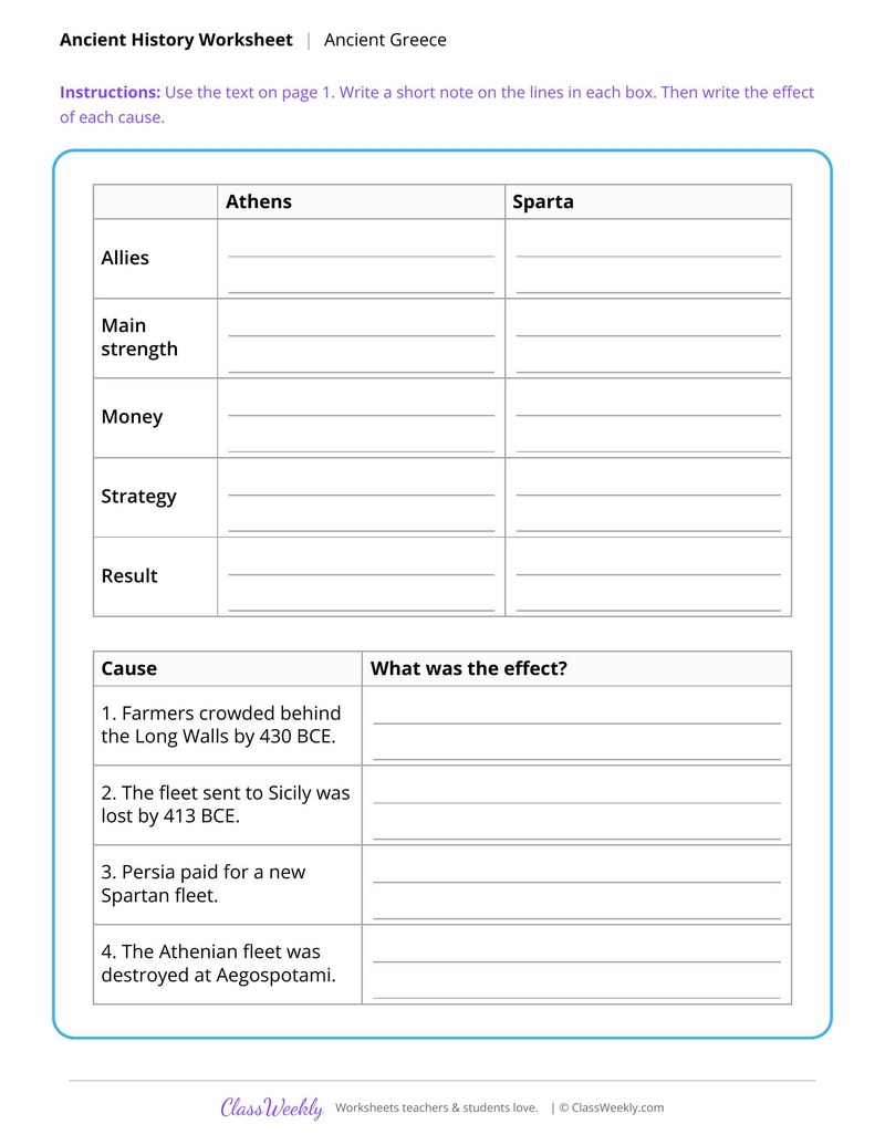
Athens and Sparta in the Peloponnesian War
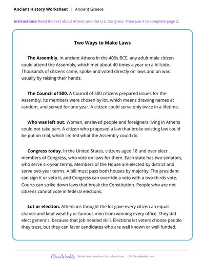
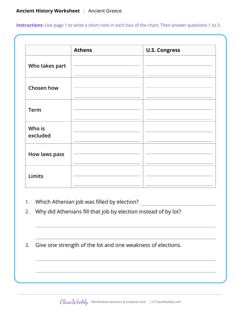
The Athenian Assembly and the U.S. Congress
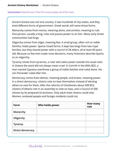
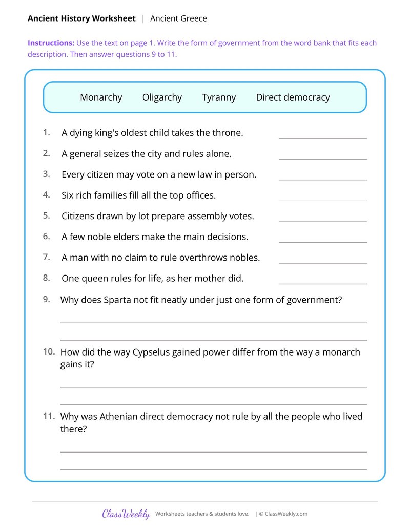
Forms of Government in Greek City-States
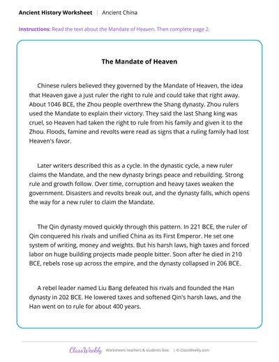
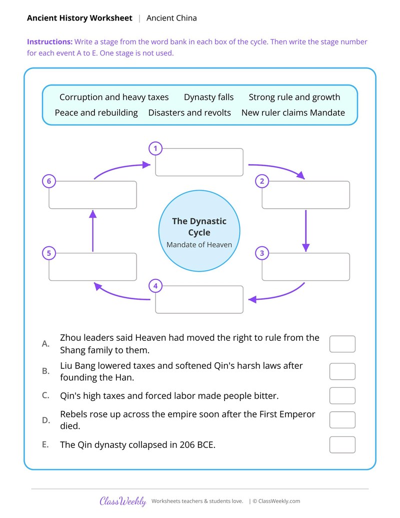
The Dynastic Cycle in Early China
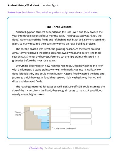
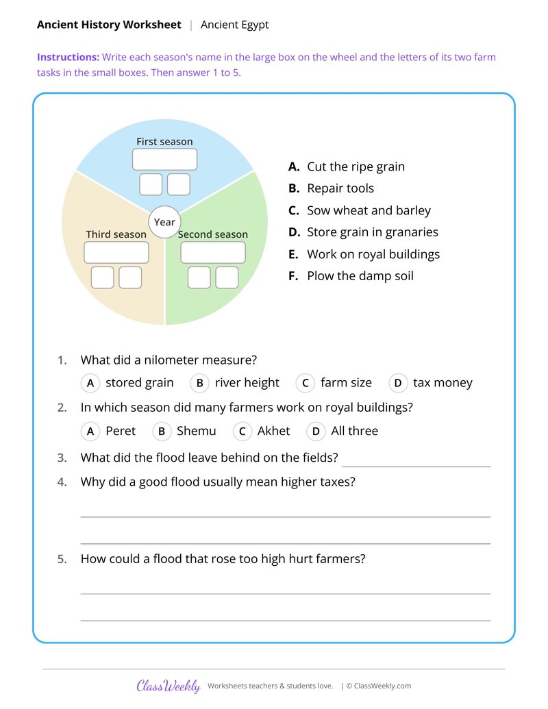
Egypt's Three Seasons and the Nile Flood
Curriculum Links
Find this in the curriculum
Browse the grade, subject, and topic this belongs to.
FAQ
How do I use this regions and landforms worksheet?
⌄
Begin with the physical map so students know the names. Then pair each text sheet with a wall map or atlas.
What does this worksheet teach?
⌄
Show how the Sierra Nevada creates a rain shadow and why Death Valley stays dry. The directions on the page read: Read the text. Then write the correct label from the word bank in each box. An answer key is included.
Can I use this regions and landforms worksheet for homeschool or classroom?
⌄
Yes, both. We made it for 7th grade U.S. Regions and Landforms, and it works the same at home or at school. At home, a student can work through it alone and then go over it with you, which shows quickly what is solid and what needs another look. In class it works as independent practice, homework or a warm-up, and you can print one copy or a full set.
Why is Death Valley so dry?
⌄
It lies in the rain shadow of the Sierra Nevada, where air that crossed the mountains has lost much of its moisture.
Why did trading towns grow along the fall line?
⌄
Boats sailing up from the ocean could go no farther, so goods had to be carried around the falls and towns grew at these stops.
Where does rainfall drop off in the Great Plains?
⌄
Rainfall thins steadily from east to west, and the change comes near the 100th meridian. The sheet graphs six sample towns to show it.
Ratings & Reviews
No reviews yet. Be the first to share what you think.
Reviews are for ClassWeekly members.
Make a Request
Spotted something to fix, or want a worksheet we don't have yet? Tell us and we'll make it.
Worksheet Details
| Grade | 7th Grade |
| Subject | Social Studies |
| Topic | U.S. Regions and Landforms |
| Pages | 2 pages |
| Difficulty | Medium |
What is ClassWeekly?
ClassWeekly offers free worksheets and printable learning resources for kids, from preschool up. All worksheets are aligned to Common Core, NGSS, and C3 Framework standards and designed by educators. Become a member to access the full library and download unlimited PDFs.
Physical Map of the United States
Appalachians, Piedmont and the Fall Line Cities
Interior Plains and the 100th Meridian
Athens and Sparta in the Peloponnesian War
The Athenian Assembly and the U.S. Congress
Forms of Government in Greek City-States
The Dynastic Cycle in Early China
Egypt's Three Seasons and the Nile Flood