Map Scale on the Oregon Trail
Written by Adi Ackerman, Head Teacher
"Map Scale on the Oregon Trail" is written for 7th Grade (Ages 12-13). A 6th grader who is already steady on Westward Expansion and Trails can use it too, and an older student can use it as a short review.
2 pages in this set
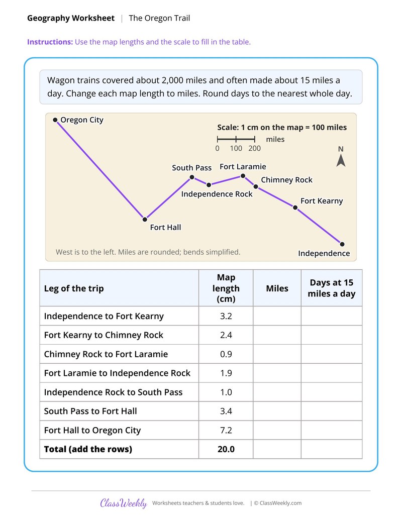
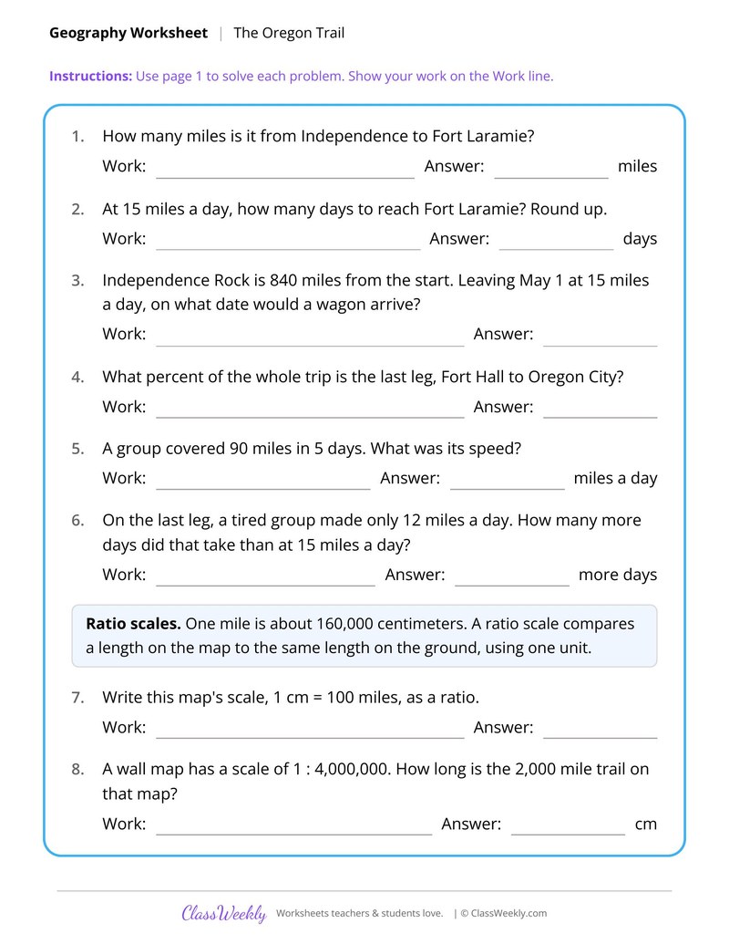
7th grade social studies worksheet: use a map scale to turn centimeters into miles and travel days on the Oregon Trail. Answer key included. Part of our expansion and trails collection.
How do I use this worksheet?
Use the timeline in a unit on Texas, the Louisiana Purchase sheet in a math and history lesson, and the Oregon Trail sheet for practice with scale.
What students will practice
- Students will use a scale of 1 cm to 100 miles to convert map lengths to miles.
- Students will divide miles by 15 miles a day and round to whole days.
- Students will solve problems about landmarks from Independence to Oregon City.
Texas From Mexican Province to Statehood
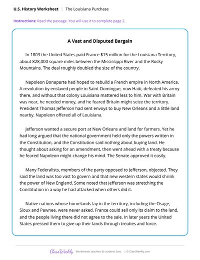
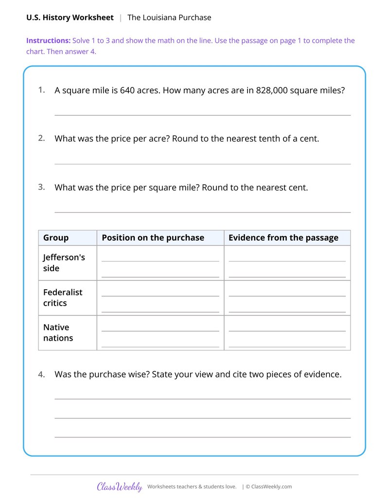
Weighing the Louisiana Purchase
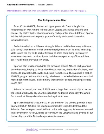
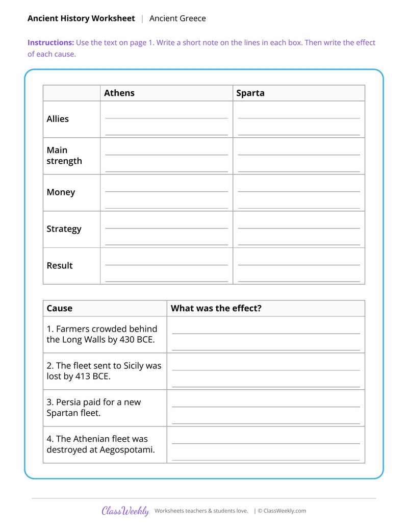
Athens and Sparta in the Peloponnesian War
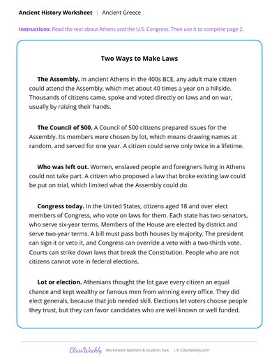
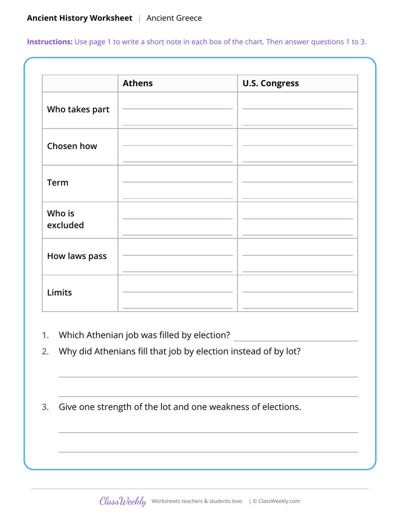
The Athenian Assembly and the U.S. Congress
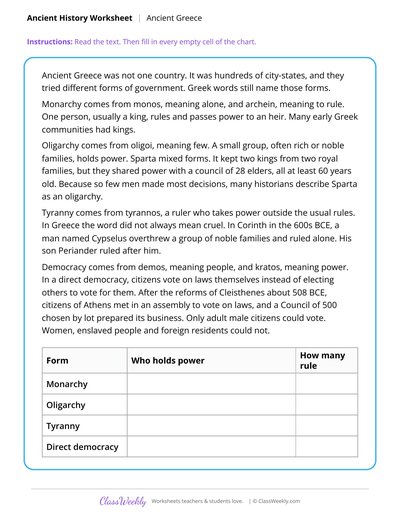
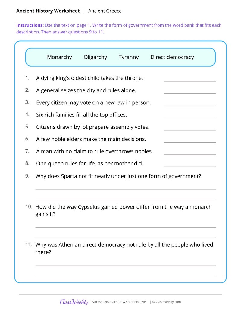
Forms of Government in Greek City-States

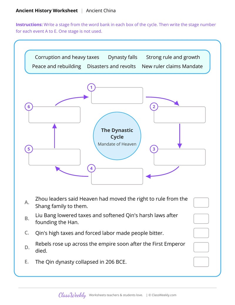
The Dynastic Cycle in Early China
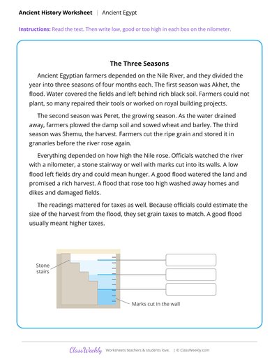
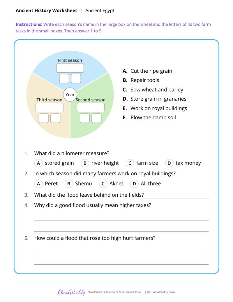
Egypt's Three Seasons and the Nile Flood
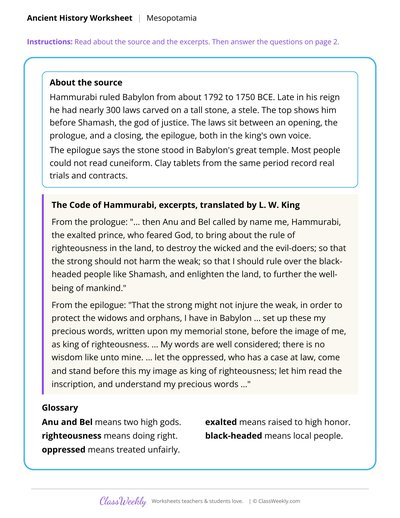
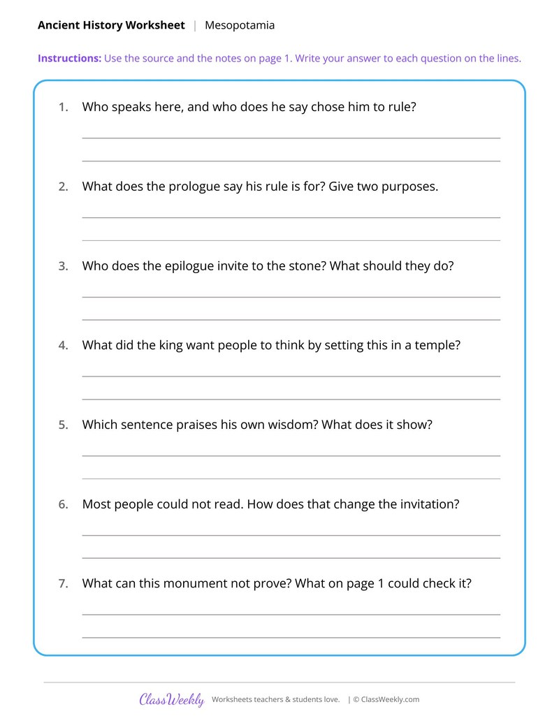
Hammurabi's Prologue as a Primary Source
Curriculum Links
Find this in the curriculum
Browse the grade, subject, and topic this belongs to.
FAQ
How do I use this expansion and trails worksheet?
⌄
Use the timeline in a unit on Texas, the Louisiana Purchase sheet in a math and history lesson, and the Oregon Trail sheet for practice with scale.
What does this worksheet teach?
⌄
Use a map scale to turn centimeters into miles and travel days on the Oregon Trail. The directions on the page read: Use the map lengths and the scale to fill in the table. An answer key is included.
Can I use this expansion and trails worksheet for homeschool or classroom?
⌄
Yes, both. We made it for 7th grade Westward Expansion and Trails, and it works the same at home or at school. At home, a student can work through it alone and then go over it with you, which shows quickly what is solid and what needs another look. In class it works as independent practice, homework or a warm-up, and you can print one copy or a full set.
How much did the Louisiana Purchase cost?
⌄
In 1803 the United States paid France $15 million for about 828,000 square miles. The sheet has students convert square miles to acres and find the price per acre and per square mile.
How long was the Oregon Trail?
⌄
The page says wagon trains covered about 2,000 miles and often made about 15 miles a day. Students use a map scale to find miles between landmarks and days of travel.
When was Texas an independent republic?
⌄
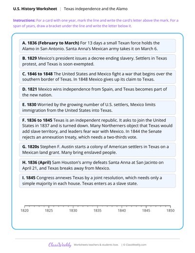
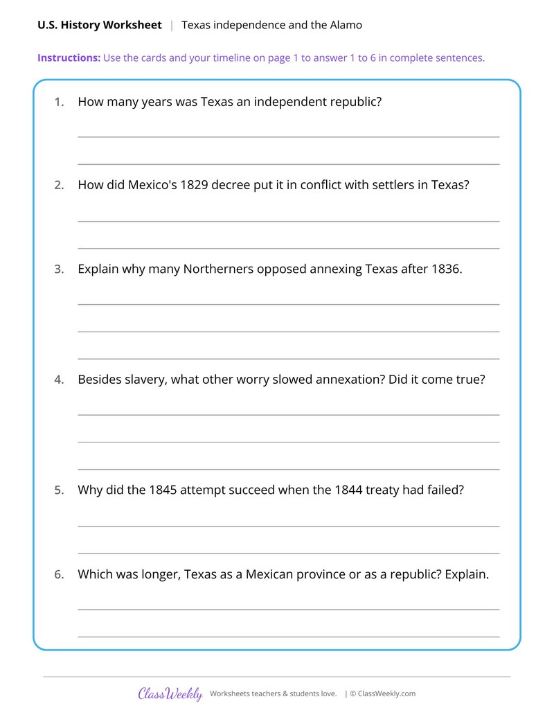
The timeline includes the Alamo in 1836 and later annexation. Students calculate how many years Texas was independent and explain what slowed annexation.
Ratings & Reviews
No reviews yet. Be the first to share what you think.
Reviews are for ClassWeekly members.
Make a Request
Spotted something to fix, or want a worksheet we don't have yet? Tell us and we'll make it.
Worksheet Details
| Grade | 7th Grade |
| Subject | Social Studies |
| Topic | Westward Expansion and Trails |
| Pages | 2 pages |
| Difficulty | Medium |
What is ClassWeekly?
ClassWeekly offers free worksheets and printable learning resources for kids, from preschool up. All worksheets are aligned to Common Core, NGSS, and C3 Framework standards and designed by educators. Become a member to access the full library and download unlimited PDFs.
Texas From Mexican Province to Statehood
Weighing the Louisiana Purchase
Athens and Sparta in the Peloponnesian War
The Athenian Assembly and the U.S. Congress
Forms of Government in Greek City-States
The Dynastic Cycle in Early China
Egypt's Three Seasons and the Nile Flood
Hammurabi's Prologue as a Primary Source