Using a Map Scale
Written by Adi Ackerman, Head Teacher
"Using a Map Scale" is written for 6th Grade (Ages 11-12). If your student is a year younger but already steady on Map Skills and Coordinates, the page still works. You may just need to read the instructions out loud. And if they are older and map parts and scale never quite stuck, this is a short review rather than busywork.
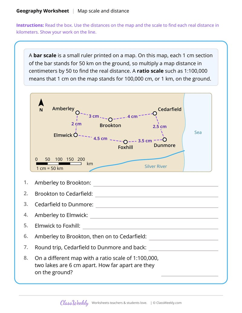
6th grade social studies worksheet: multiply map distances by a scale of 1 cm to 50 km to find the real distance between towns. Answer key included. Part of our map parts and scale collection.
How do I use this worksheet?
Use Map Elements on a Town Map first so the parts have names. City Map Grid Coordinates and Directions and Compass Bearings build on it, and Using a Map Scale works best with rulers or calculators nearby.
What students will practice
- Students will multiply map distances in centimeters by 50 to find real distances in kilometers.
- Students will add map distances to find the length of a two part trip and a round trip.
- Students will use a ratio scale of 1:100,000 to find a ground distance.
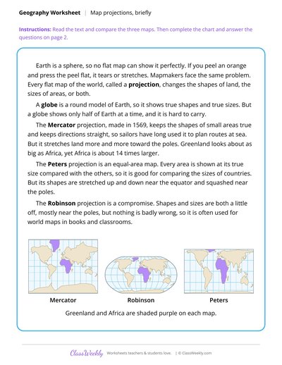
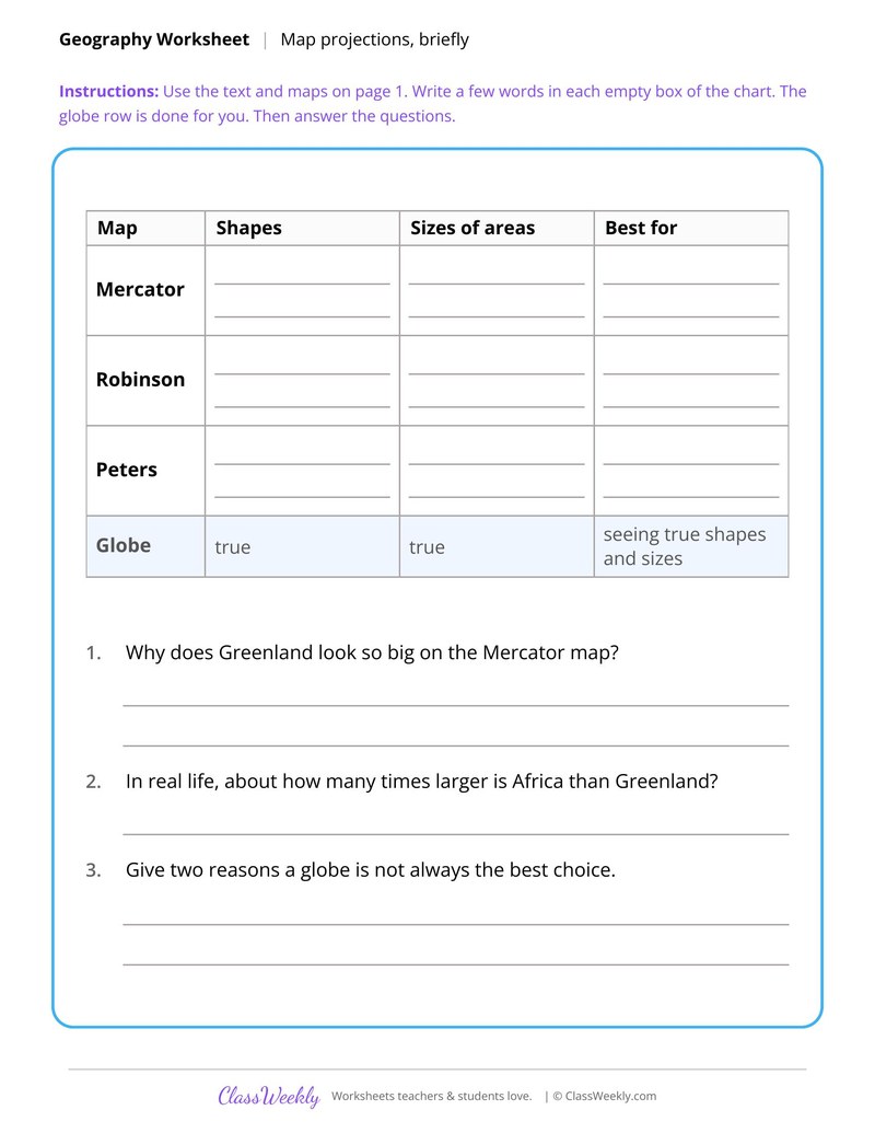
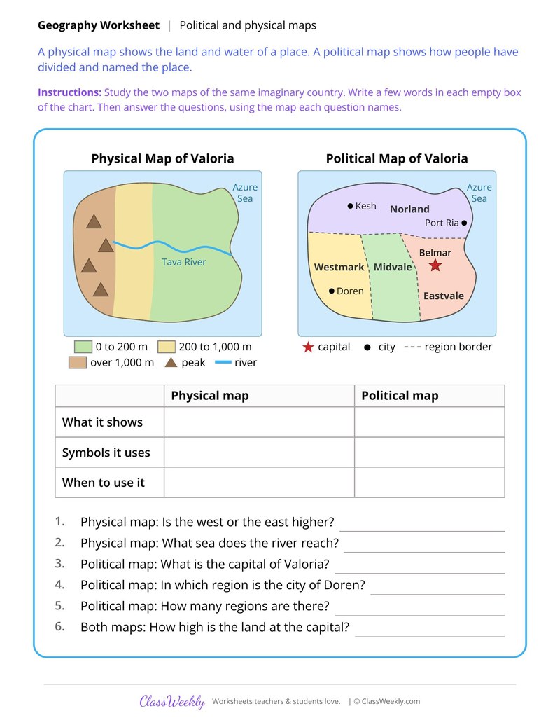
Curriculum Links
Find this in the curriculum
Browse the grade, subject, and topic this belongs to.
FAQ
How do I use this map parts and scale worksheet?
⌄
Use Map Elements on a Town Map first so the parts have names. City Map Grid Coordinates and Directions and Compass Bearings build on it, and Using a Map Scale works best with rulers or calculators nearby.
What does this worksheet teach?
⌄
Multiply map distances by a scale of 1 cm to 50 km to find the real distance between towns. The directions on the page read: Read the box. Use the distances on the map and the scale to find each real distance in kilometers. Show your work on the line. An answer key is included.
Can I use this map parts and scale worksheet for homeschool or classroom?
⌄
Yes, both. We made it for 6th Grade Map Skills and Coordinates, and the page works the same whether it lands on a kitchen table or a center rotation. At home, most families go through it together and talk the answers out loud, and that talking is where most of the learning happens with map parts and scale. In class it runs well as independent work while you pull a small group. Print one copy or thirty, whichever the day needs.
What are the parts of a map?
⌄
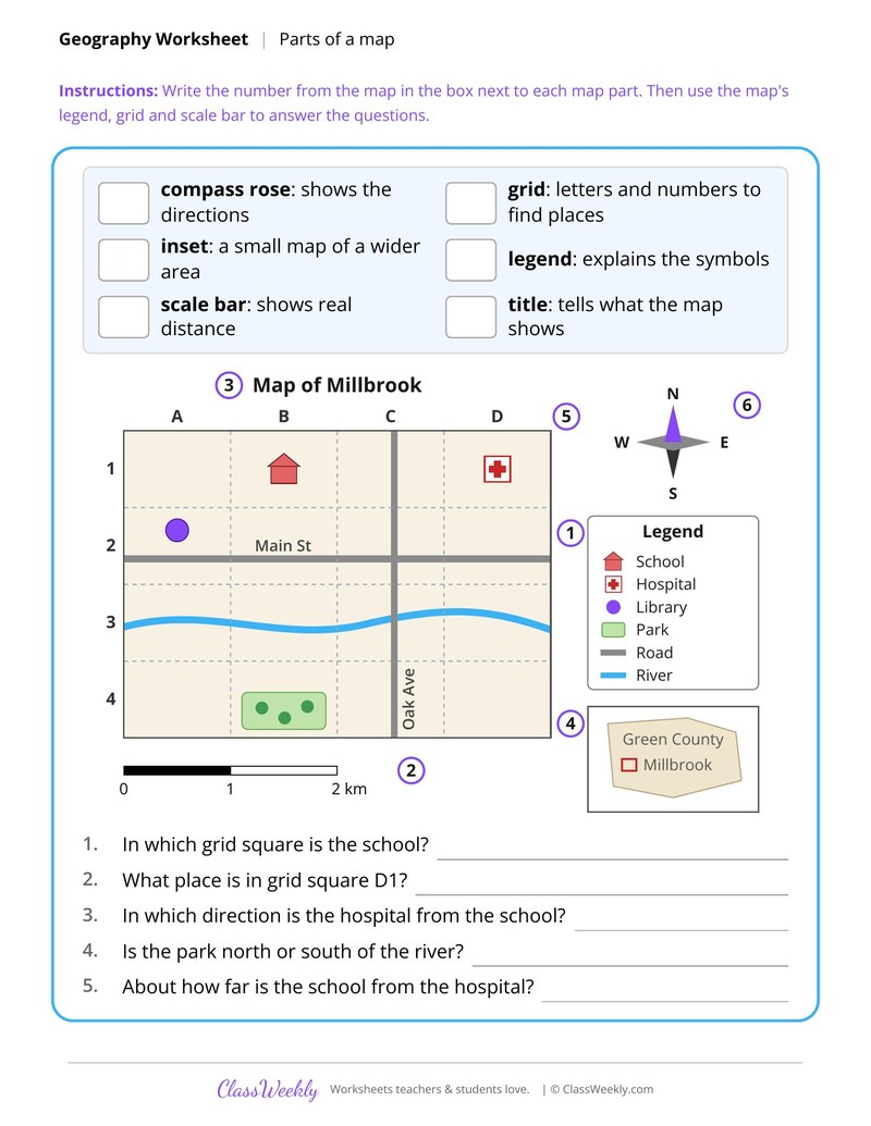
Map Elements on a Town Map covers six parts: the compass rose, grid, inset, legend, scale bar and title. Students match each to a number on the map of Millbrook, then use them to answer questions.
What is a compass bearing?
⌄
A bearing is a direction given in degrees, measured clockwise from north. North is 0°, east is 90°, south is 180° and west is 270°. Directions and Compass Bearings has students find bearings between places on an island.
How do you use a map grid?
⌄
Name a square with its letter and number, such as C3. City Map Grid Coordinates has students find landmarks this way and follow a route counted in squares.
Ratings & Reviews
No reviews yet. Be the first to share what you think.
Reviews are for ClassWeekly members.
Make a Request
Spotted something to fix, or want a worksheet we don't have yet? Tell us and we'll make it.
Worksheet Details
| Grade | 6th Grade |
| Subject | Social Studies |
| Topic | Map Skills and Coordinates |
| Pages | 1 page |
| Difficulty | Medium |
What is ClassWeekly?
ClassWeekly offers free worksheets and printable learning resources for kids, from preschool up. All worksheets are aligned to Common Core, NGSS, and C3 Framework standards and designed by educators. Become a member to access the full library and download unlimited PDFs.