Printable Map of the United States
Written by Adi Ackerman, Head Teacher
"Printable Map of the United States" is written for 2nd Grade to 5th Grade (Ages 7-11). It also works a grade below or above: younger children can use it with an adult reading it aloud, and older ones as a quick refresher.
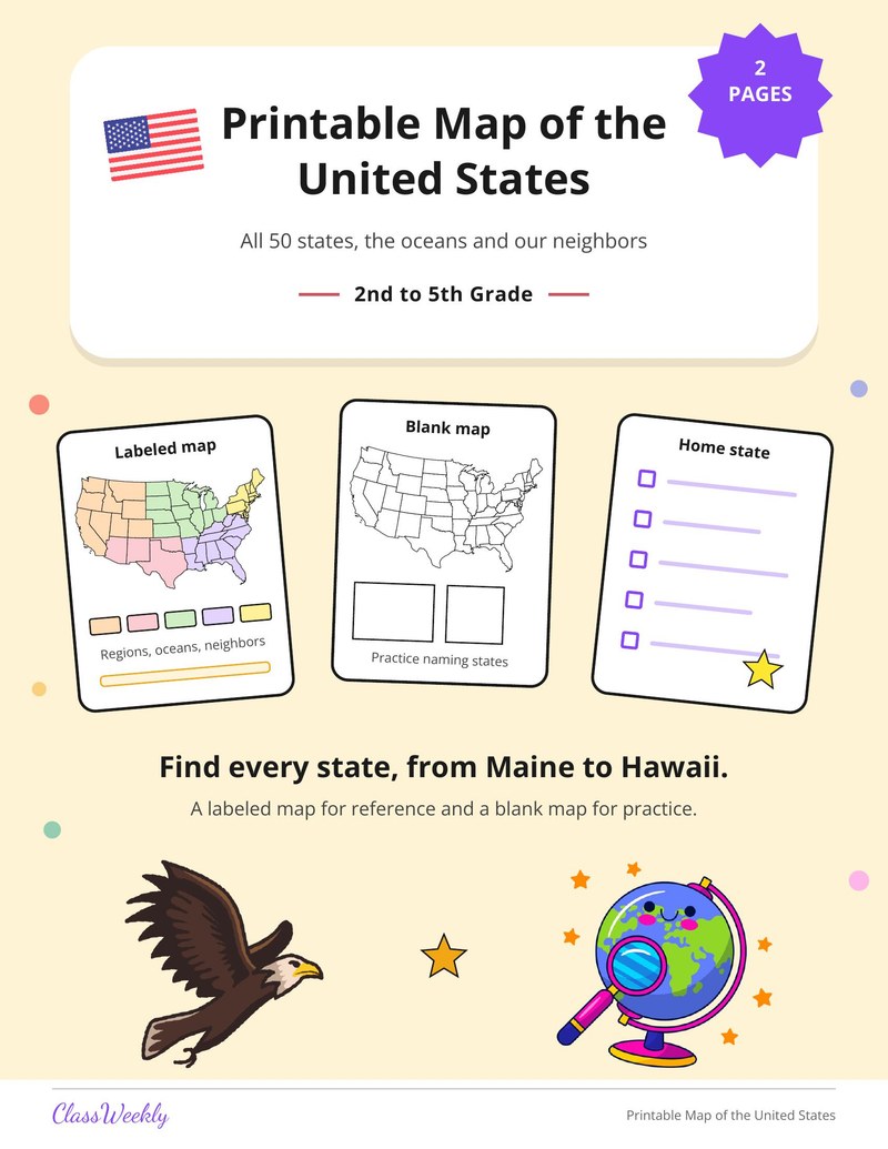
3 pages in this set
Printable map of the United States for 2nd to 5th grade: a labeled map of all 50 states with regions, and a blank map to practice. Part of our US map maps collection.
How do I use this resource?
Students study the labeled map, then try to name states on the blank one. Use in a geography unit or for a home state project.
What students will practice
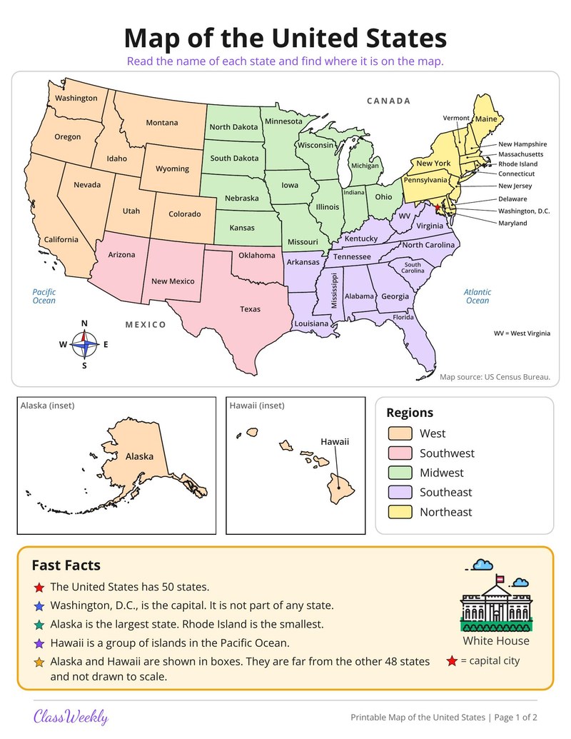
- Teaches the location of every state on a labeled United States map, with five regions, oceans, Canada and Mexico.
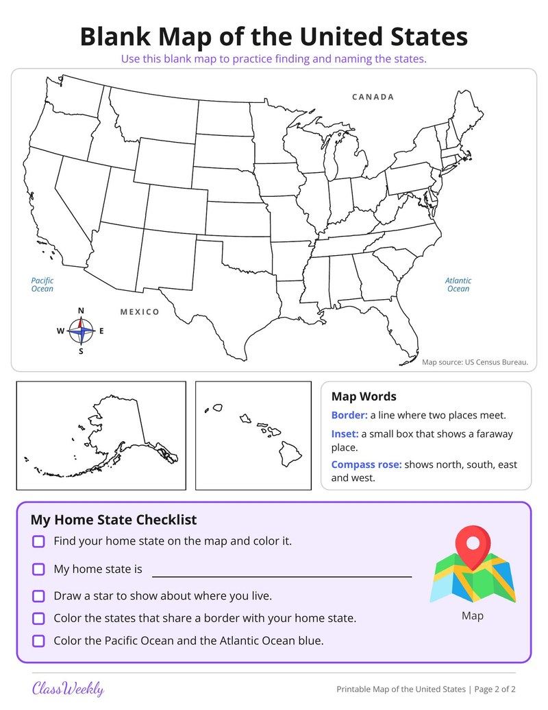
- Practices recalling states on a blank map and learning map words such as border, inset and compass rose.
- Fits 2nd to 5th grade in a geography unit, with a My Home State Checklist for coloring the home state.
Curriculum Links
FAQ
How do I use the Printable Map of the United States?
⌄
Students study the labeled map, then try to name states on the blank one. Use in a geography unit or for a home state project.
What are the Printable Map of the United States?
⌄
Two pages after the cover. Page 1 is a labeled map of the United States with every state, the oceans, Canada and Mexico, Alaska and Hawaii insets, five regions and Fast Facts. Page 2 is a blank map with Map Words (border, inset, compass rose) and a My Home State Checklist for coloring the home state.
Can I use the Printable Map of the United States at home and in the classroom?
⌄
Yes. We made it for 2nd Grade to 5th Grade maps, and it works the same at home or at school. Families print it for one child and keep it where they will use it every day. Teachers print a copy per student or one for the whole room, whichever the day needs.
How many 2nd Grade to 5th Grade US map resources are there?
⌄
1 printable resource, free to preview. Downloads are included with a ClassWeekly free trial, and every page prints on standard 8.5 x 11 paper.
What age are US map resources for?
⌄
These are written for 2nd Grade to 5th Grade students, roughly ages 7-11. Many teachers also use them a grade up for review or a grade down as an extension, so use the preview to judge the fit for a particular child.
Can I use these US map resources for homeschool?
⌄
Yes. Nothing here assumes a classroom of 25, so they work the same one-to-one at the kitchen table as they do in a 2nd Grade to 5th Grade classroom, a learning center, or a tutoring session.
Ratings & Reviews
No reviews yet. Be the first to share what you think.
Reviews are for ClassWeekly members.
Make a Request
Spotted something to fix, or want a resource we don't have yet? Tell us and we'll make it.
Resource Details
| Grade | 2nd Grade to 5th Grade |
| Subject | Resources |
| Topic | Maps |
| Pages | 3 pages |
| Difficulty | Medium |
What is ClassWeekly?
ClassWeekly offers free worksheets and printable learning resources for kids, from preschool up. All worksheets are aligned to Common Core, NGSS, and C3 Framework standards and designed by educators. Become a member to access the full library and download unlimited PDFs.